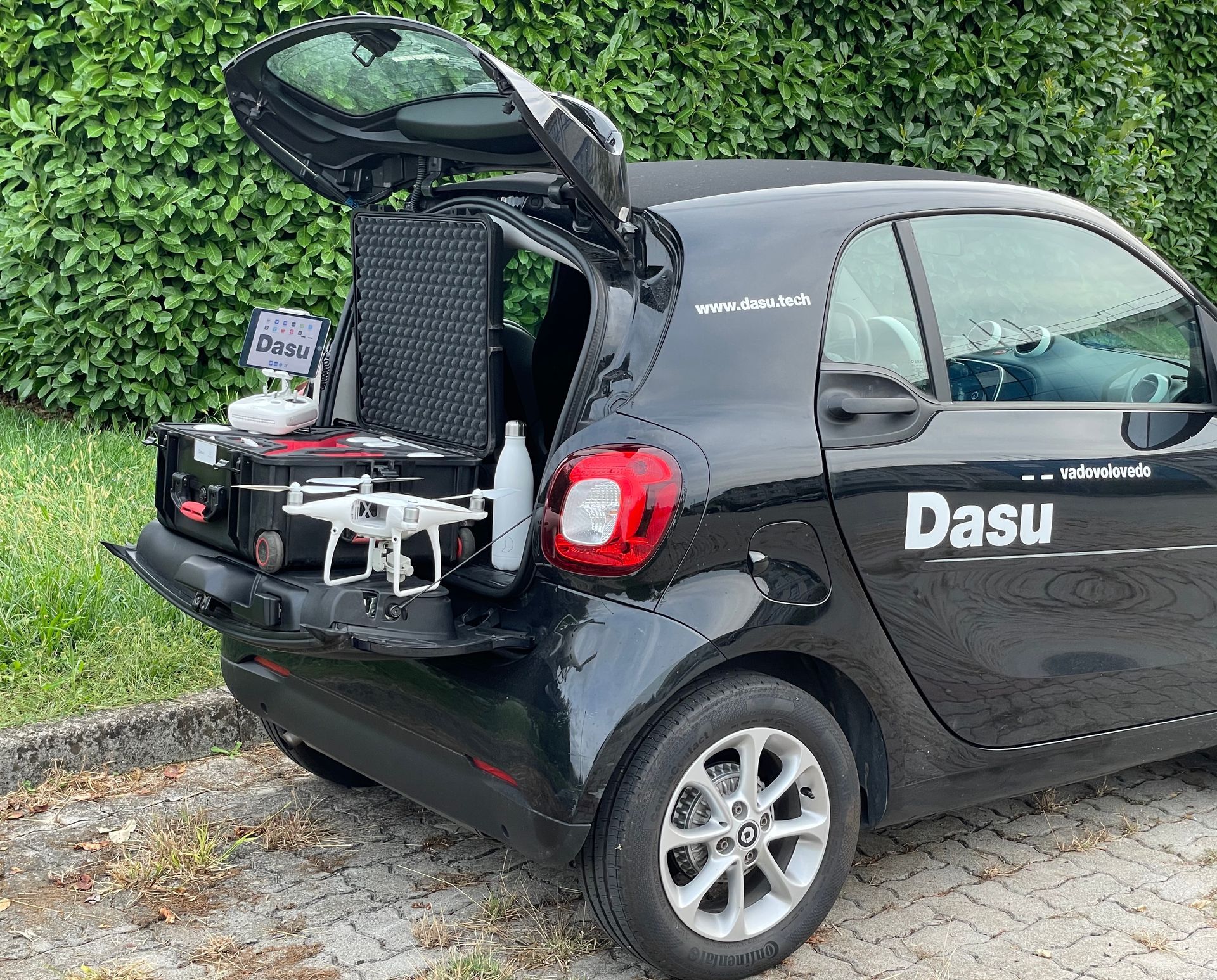
ARCHITECTURAL, TOPOGRAPHIC SURVEYS AND INSPECTIONS with DRONE and LASER SCANNER
Photogrammetric surveys with drone of Facades, Condominiums, Properties, Buildings, Infrastructures and Land, Territory, Land Registry
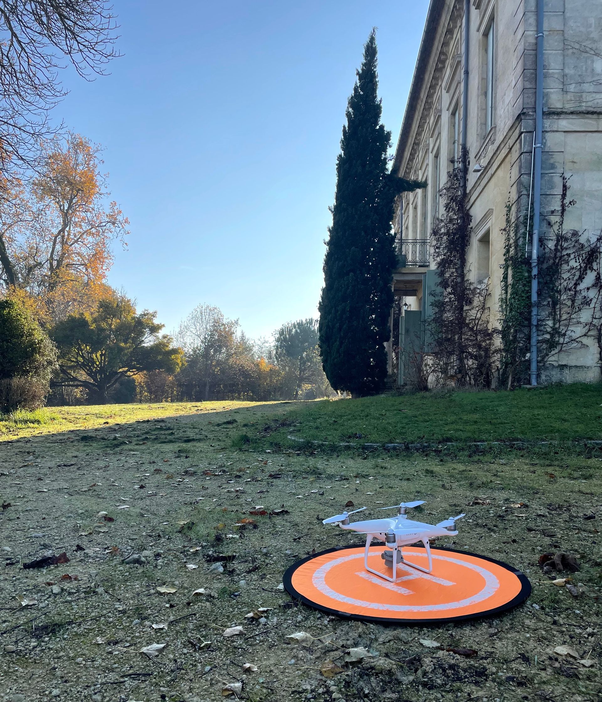
SOME OF OUR SERVICES WITH DRONES
● Provision of surveys with accurate measurements and details.
● Topographic surveys with drones on land, buildings and infrastructure.
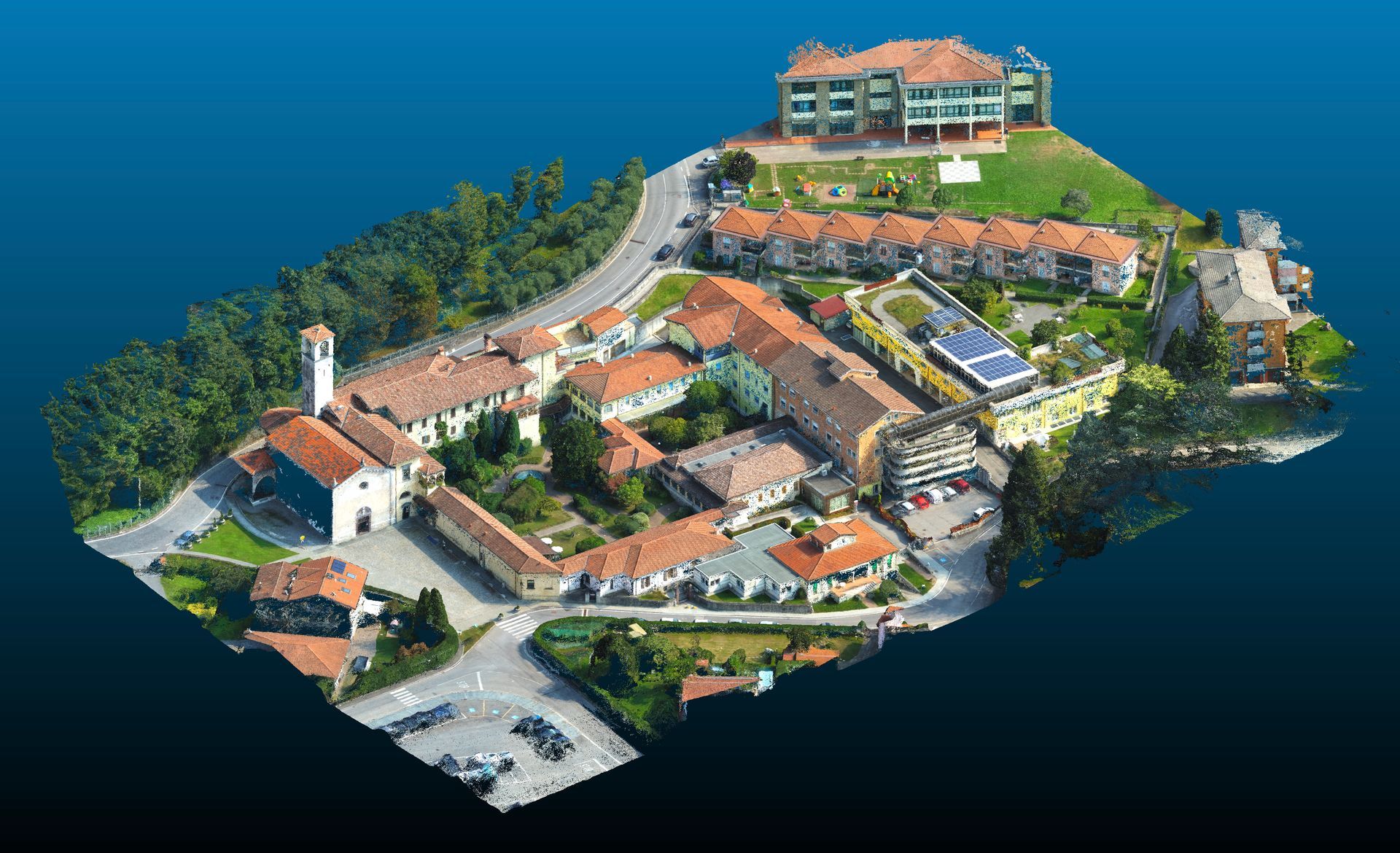
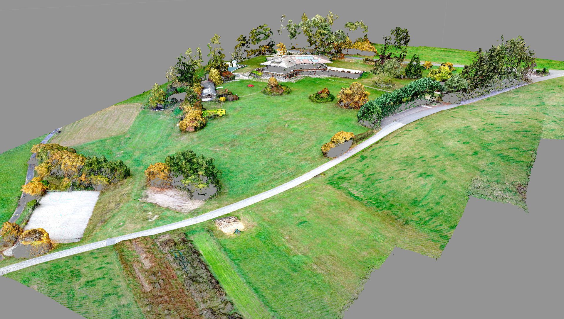
● Photogrammetry with high quality-3D survey drones.
● Rapid and accurate measurements.
● Aerial monitoring inspections.
● Architectural and topographical surveys.
● Thermographic analysis.
Your solution in the field of topographical, architectural and construction industry surveys
We are here to revolutionise how surveys are conducted, offering an innovative and highly efficient solution that surpasses the traditional methods.
Our advanced drones are equipped with precision technology and can acquire accurate data quickly and reliably.
Here are some key advantages that our drone services offer over traditional methods:
✔
Speed and fast delivery times: Thanks to our fleet of highly automated drones, we can complete surveys of vast terrains or architectural sites in very little time compared to traditional methods. This means that our clients can get the results they need quickly, saving valuable time on their projects.
✔
Unprecedented accuracy: Our drones are equipped with advanced technologies such as LIDAR sensors and high-resolution photogrammetry. This allows us to obtain detailed, accurate data with unprecedented accuracy. The results are highly accurate topographic maps and three-dimensional models that can be used to make informed decisions and to guide project planning.
✔
Improved safety: Traditional surveys often require human operators to venture into dangerous or hard-to-reach areas such as cliffs, construction sites or rooftops. By using drones, we greatly reduce the safety risk of professionals in the field, eliminating the need for exposure to potential hazards.
✔
Cost reduction: Thanks to the automation of surveys through drones, we can significantly reduce the costs associated with the use of human staff and traditional equipment. Moreover, the speed of data acquisition allows us to optimise resources and provide competitive prices to our customers.
✔
Real-time monitoring: Drones allow us to capture data in real time and immediately transmit it to our control centre. This allows our clients to have immediate access to up-to-date information, allowing them to make timely, data-driven decisions.